Space jam
Humans have never lacked existential threats. War, famine and disease have been here since the beginning. Today, climate change and dying oceans imperil us.
But another danger looms on the horizon. Well, higher up. Way up. Orbiting the Earth is an alarming amount of debris: dead satellites, abandoned rocket stages and fragments from 65 years of space exploration. NASA tracks more than 23,000 pieces larger than a softball. But there are half-a-million marble-sized chunks and over 128 million smaller bits.
Travelling at more than 15,000 miles an hour, even tiny pieces pose a danger to satellites and spacecraft. Governments and businesses plan to launch thousands more satellites in coming years. That will only add to the chance of collisions. Experts fear there will eventually be so much debris that it will no longer be feasible for humans to use space. Earth orbit will be one big demolition derby. Ever-more colliding space junk creating ever-more space debris. That will have dire consequences for a world that relies on satellites for communications and more.
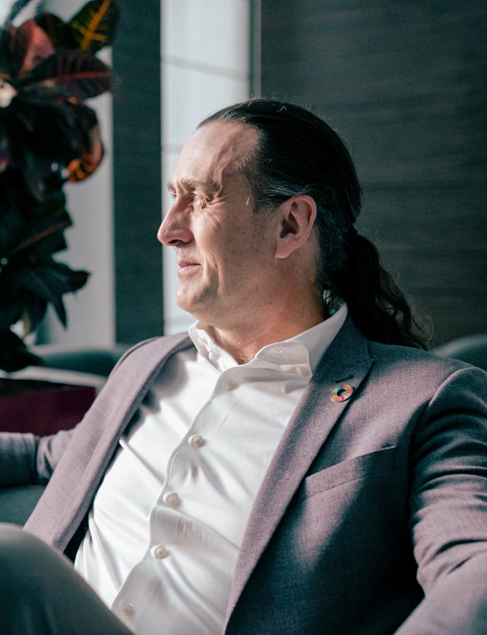
“The problem is very serious,” says Stewart Bain. “Already satellite launches are being delayed because a cloud of debris is moving through and the rocket cannot launch during that period.”
Bain is CEO and founder of NorthStar Earth & Space Inc. The Montreal firm wants to be the first to reduce the danger by tracking objects from space to prevent collisions. It plans to launch a constellation of satellites with telescope sensors to track orbital debris for companies and governments that operate satellites.
Right now, space junk is tracked from the ground. That isn’t as accurate as doing so from space. NorthStar’s monitoring system will eventually be able to predict the trajectory of orbital debris “precisely, accurately and timely” so that “people can operate responsibly and safely and to make the space environment sustainable,” Bain says.
The ability to plan orbits and navigate around debris is crucial. That’s because spacecraft move more like ships than sports cars. They don’t swerve fast. In 2020, the International Space Station had to course-correct three times to avoid debris. Each manoeuvre took five hours. “There is still a lot of room to do navigation in space, so the important thing is that you get the information sooner rather than later,” Bain says.
An eye on Earth
Bain is a child of the space age. He was born in Montreal just weeks after John F. Kennedy, in 1962, called on the U.S. to put a man on the moon. Bain still vividly recalls a late night seven years later when his parents woke him up to watch on TV as Neil Armstrong stepped onto the lunar surface. Pretty soon he was building model rockets and dreaming of space.
In university he studied engineering, graduating in 1986. He has spent more than three decades in aerospace since. Bain helped design the Canadian Space Agency’s Radarsat 1 and 2 satellites, worked with NASA and designed advanced composite materials and optical systems for satellite applications around the world. He enrolled in the Executive MBA program at Smith, he says, to apply business skills to his aerospace work. In 2012, he and colleagues founded NorthStar.
If all goes well, Bain hopes to launch the company’s first satellites next year. NorthStar is working with governments (including Canada and Quebec) and private investors, and it has partnerships with international space agencies and satellite service operators.
But while NorthStar aims to make space safer, it may also help here on Earth. Last year, it began working with the Canadian Coast Guard to develop a system to monitor environmental threats such as coastal erosion and marine pollution from space. Bain says NorthStar’s hyperspectral optics and sensors will be powerful enough to track changes on land and sea that result from climate change. One example: NorthStar could eventually analyze the health of forests and map and predict the spread of forest fires. “With accurate information, we can start to make better decisions to address these challenges,” Bain says. “It’s technology meets environmentalism.”